View
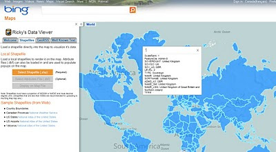
- ESRI Shapefiles (.shp & .dbf files) [best under 300k]
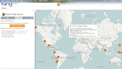
- GeoRSS Feeds (.xml with lat & lng)
- Well Know Text (WKT)
Known as Ricky's Data Viewer

Loaded Shapefile (World Countries) in the Data Viewer using 'select shapefile' option, .dbf if your want to see attributes (table data).

GeoRSS (.xml) recent earthquakes feed from (USGS)
Full list of Bing Maps Apps.
No comments:
Post a Comment