Rain or Snow, Now You Can See Weather in Google Earth
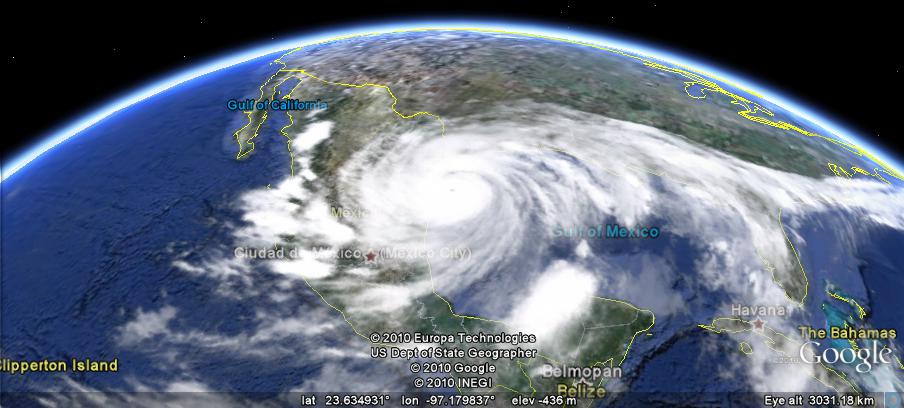
It’s the middle of summer, but for those of us who long for the return of cold winter weather and warm cups of cocoa, throw on your favorite poncho and check out the weather in Google Earth 5.2. The latest version projects images of rain and snow over the areas with those weather patterns as it’s actually happening! First enable the clouds layer, then zoom in to a particular location where it might be raining or snowing. I’m willing to bet London is a likely spot, even these days, or the Lone Star state (pictured below) which is in the midst of tropical storm season. Currently, our precipitation data cover some areas in North America and Europe; you can see if it’s available in certain places by enabling the radar layer.

This is a fun and useful tool for anyone planning to travel or who wants to check a specific area where a friend of relative might be visiting or living. For example, in preparation for my recent trip to the American southwest, I decided to check on the status of Hurricane Alex a few days in advance:
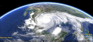
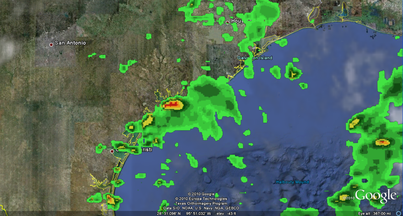
Via Google Earth, I could see that the hurricane was entering Mexico and Texas. Zooming close to ground, I saw that the Texas coastline was getting a bit of rain:
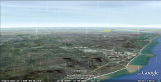
Luckily, I missed the hurricane by a couple of days!
You, too, can make like a meteorologist and track wet weather patterns ranging from light drizzle and snow to hurricanes and blizzards in Google Earth. Feel free to give it a try!

No comments:
Post a Comment